Los Azules-Q'Inti
50 km east of Copiapó, Atacama Region, Chile · Active Exploration · Cu-Mo-Au
Overview
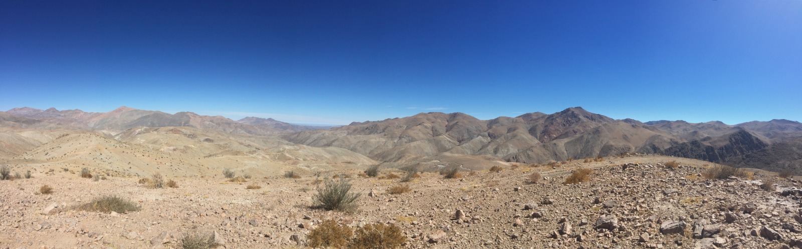
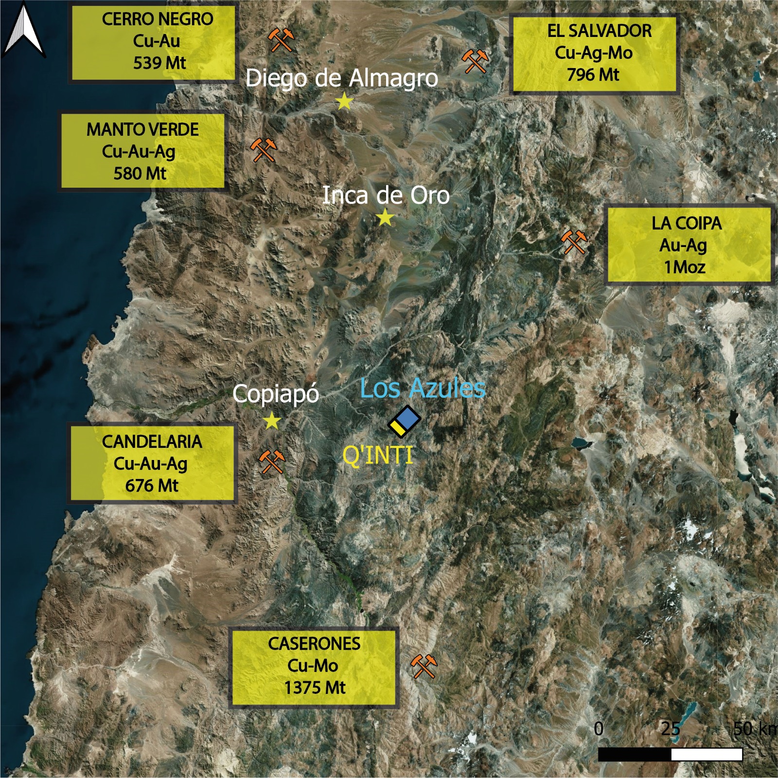
Los Azules-Q'Inti sits in Chile's Atacama region (III Region), 50 kilometres east of Copiapó, within the Paleocene metallogenic belt — host to world-class porphyry copper, IOCG, and epithermal gold systems. The project is part of the Los Azules mining district, an active production area for copper, gold, and molybdenum.
Q'Inti's neighbours include Candelaria, Caserones, El Salvador, Manto Verde, Cerro Negro, and La Coipa — deposits measured in hundreds of millions of tonnes. The district's geological context makes Q'Inti a credible exploration target in a proven mining belt.
Geology
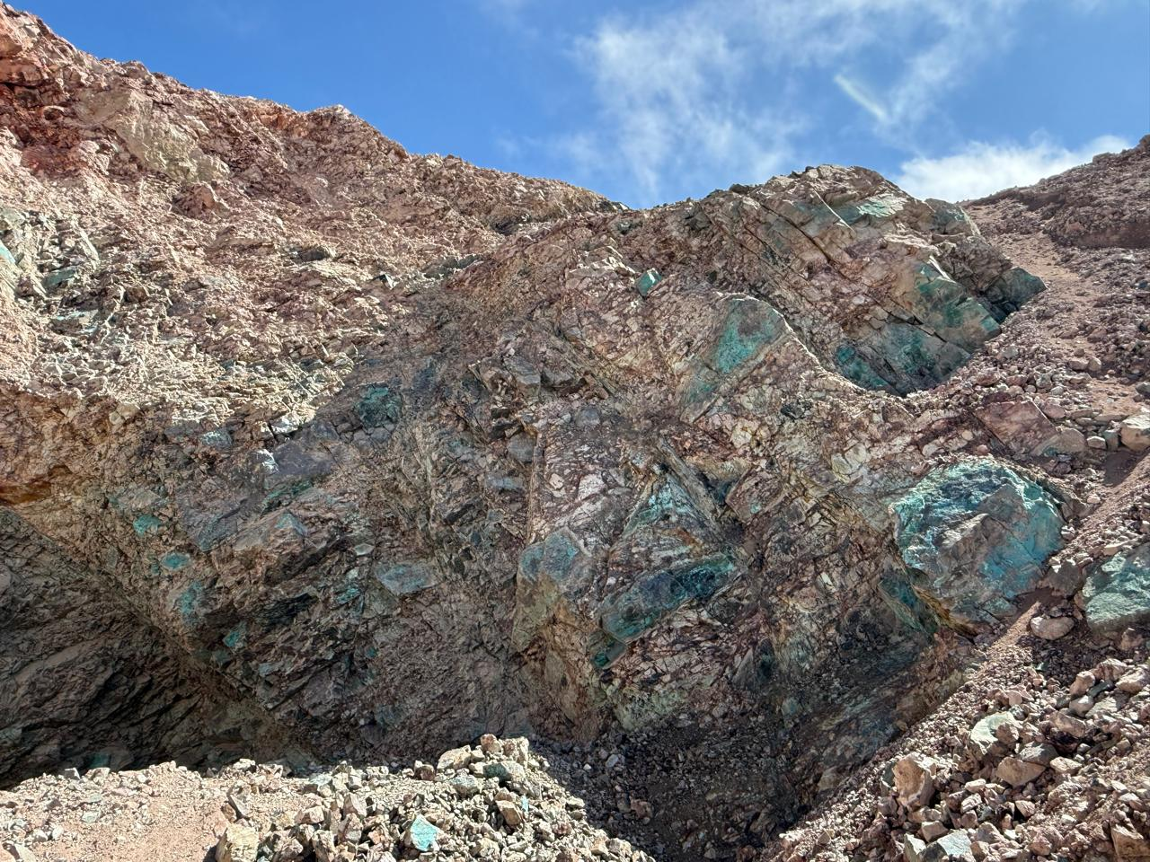
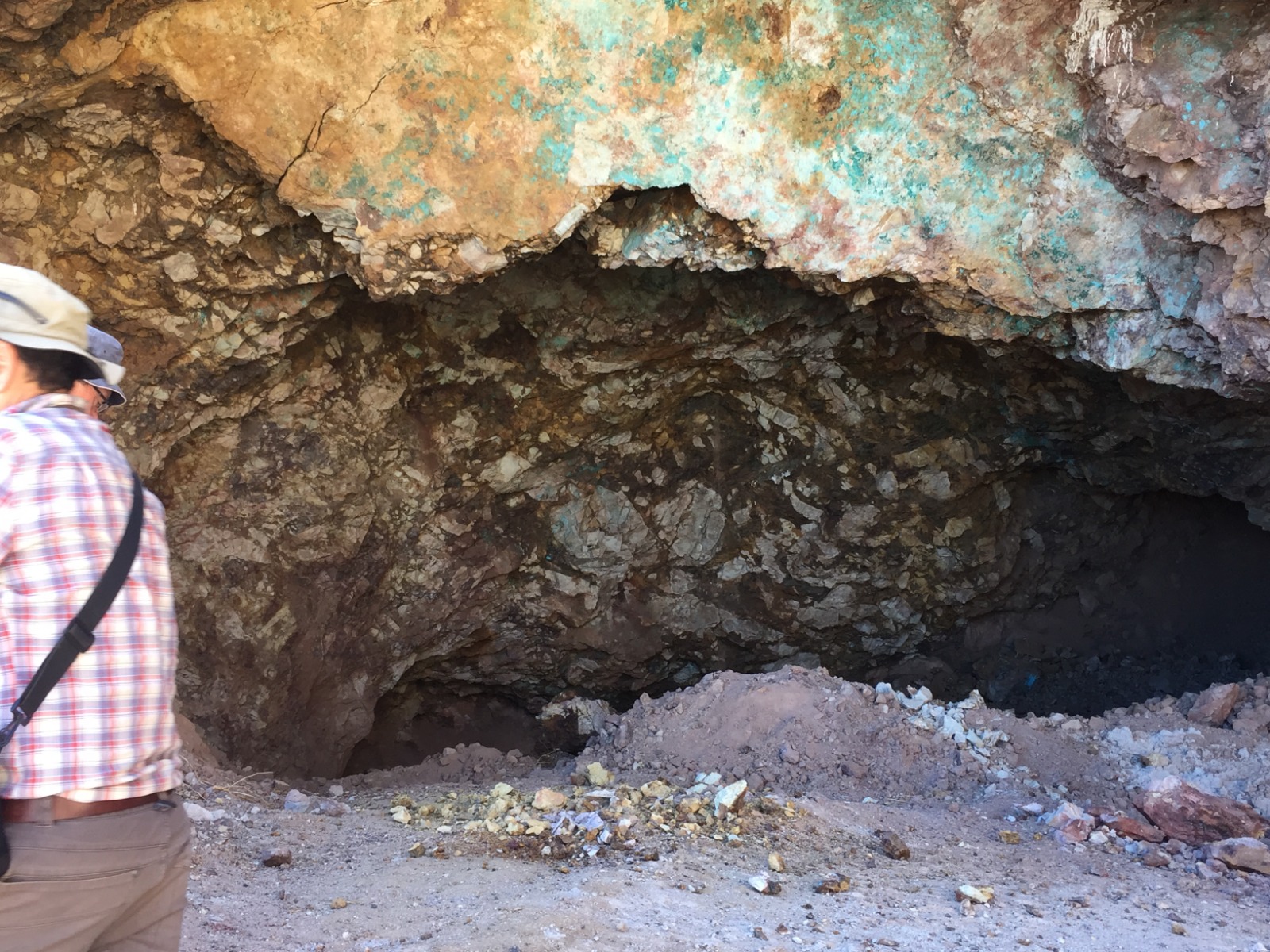
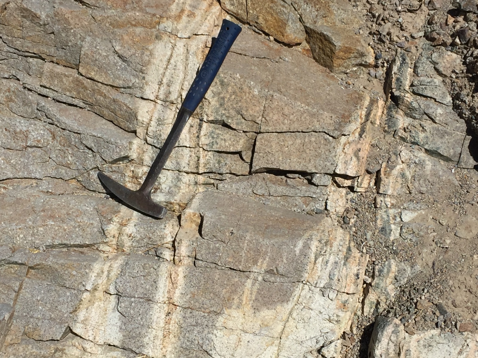
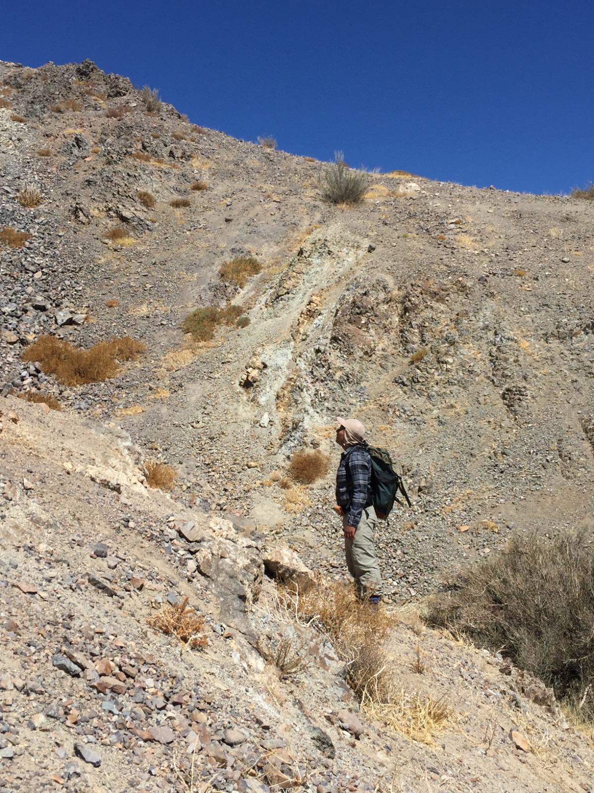
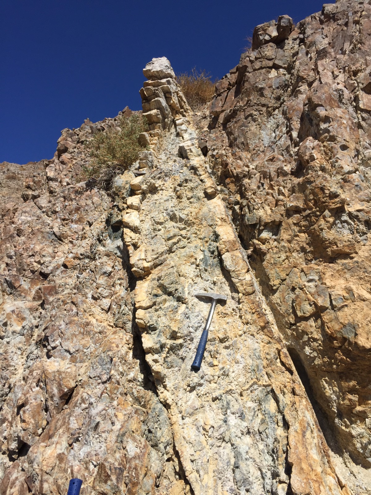
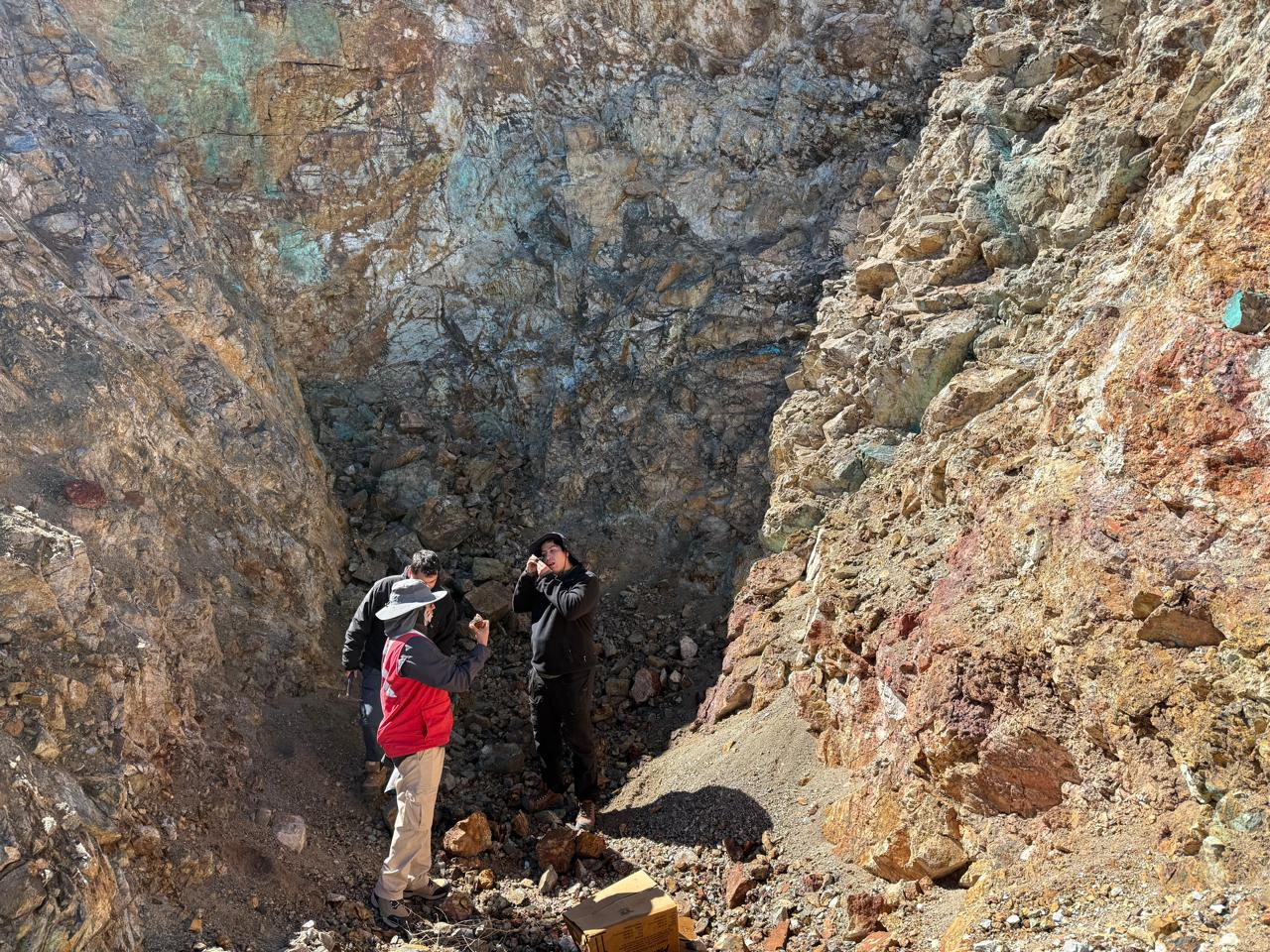
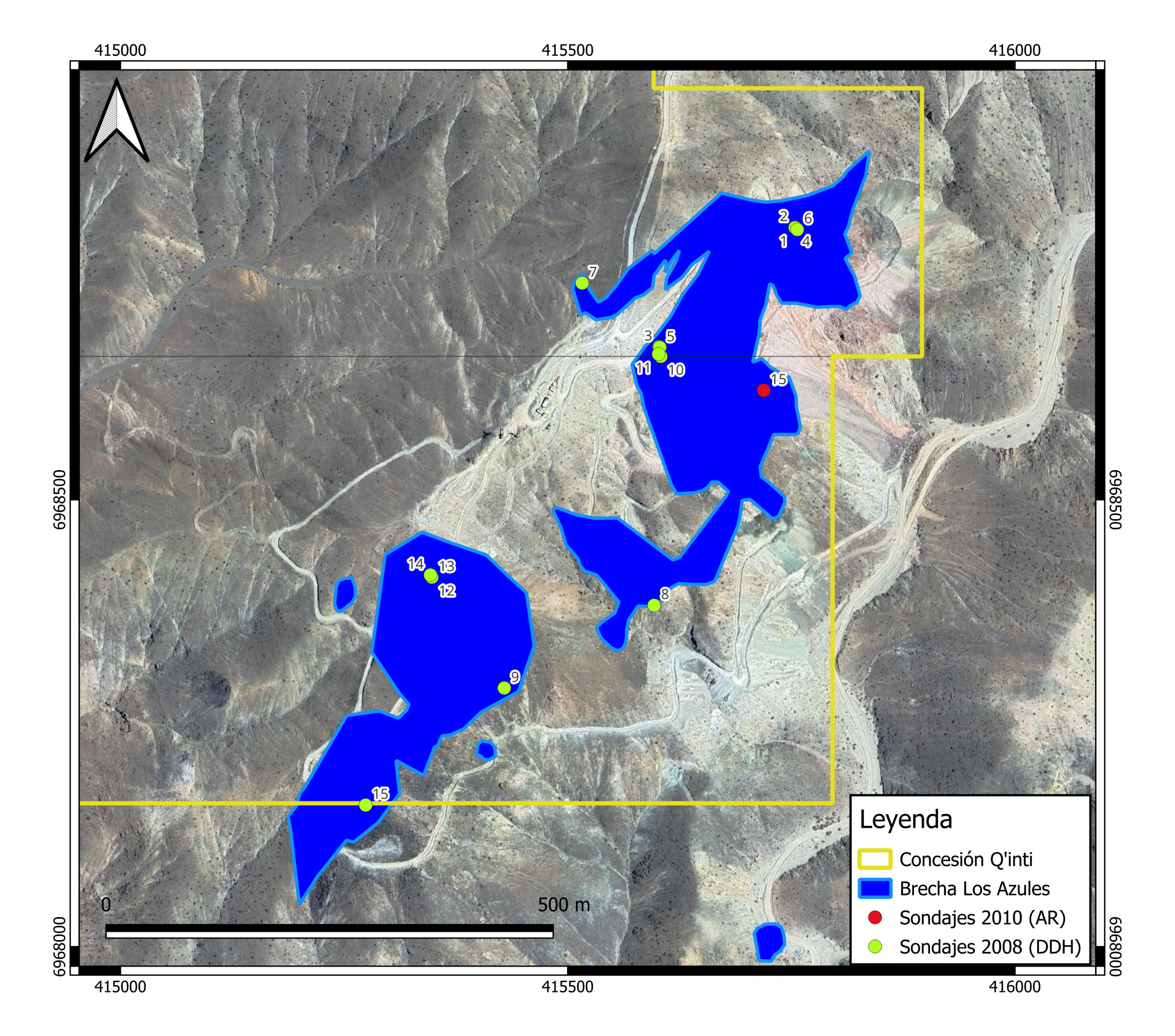
The Q'Inti property hosts more than 30 tourmaline-breccia chimneys carrying copper oxides and sulfides. The namesake Q'Inti breccia is the largest and best-exposed body: approximately 1,100 m long, 150 m wide, and 150 m deep.
Historical mapping, sampling, and drilling on the Q'Inti breccia have confirmed copper-oxide mineralization with grades up to 4.4 % Cu, 0.08 % Mo, and 0.29 g/t Au. ASG's current exploration targets a bulk-tonnage copper deposit of 10 to 20 million tonnes grading 1.0 – 1.5 % Cu.
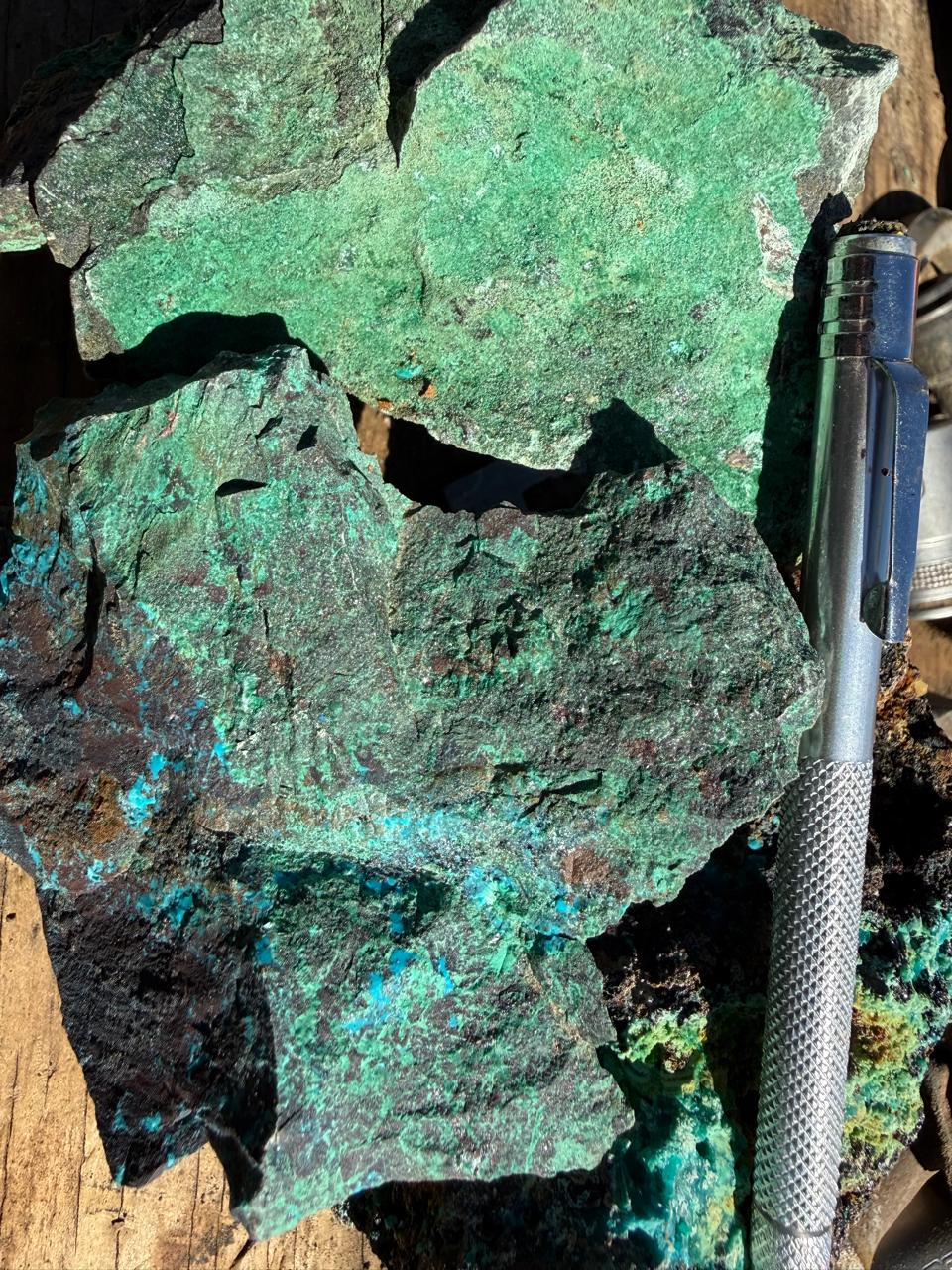
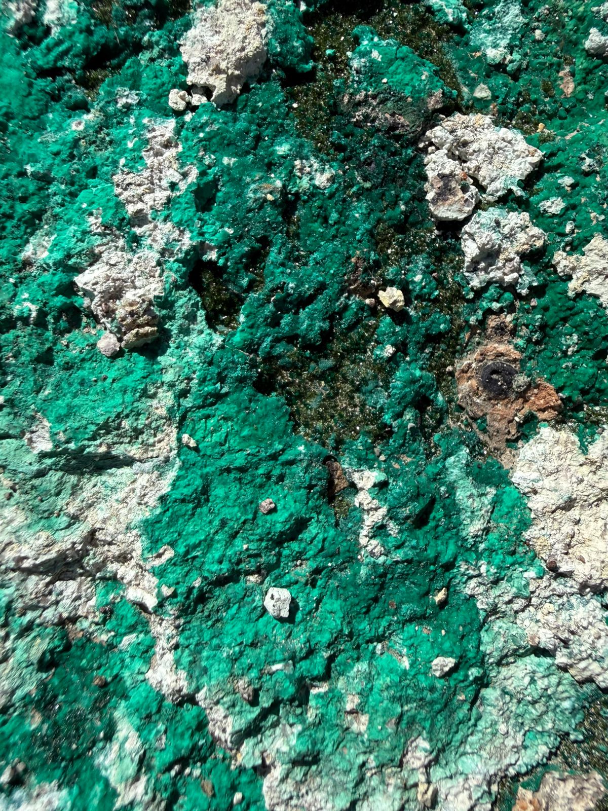
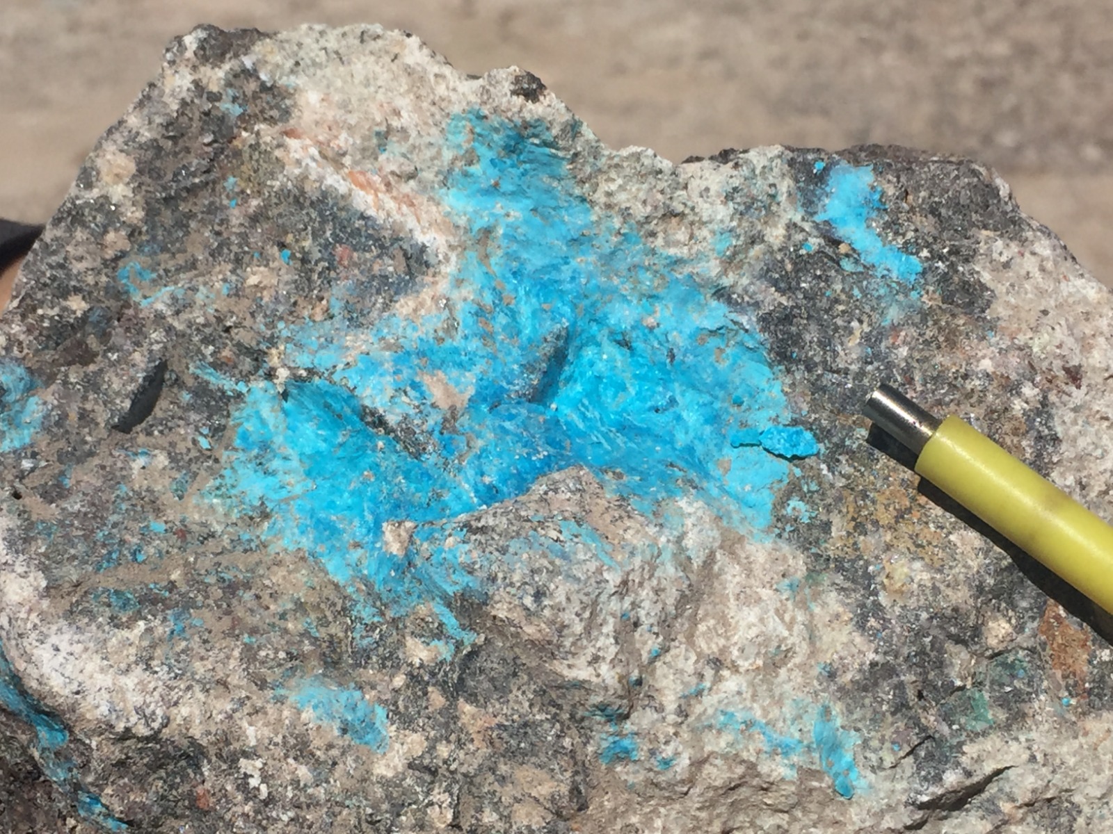
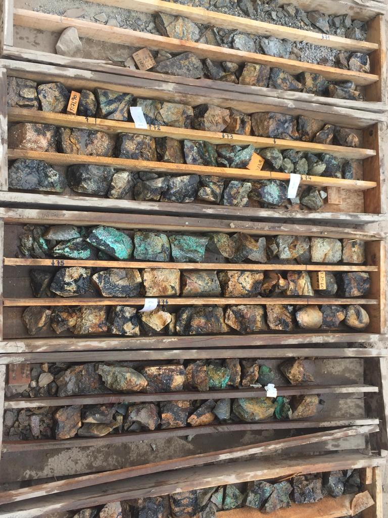
Surface mineralogy is dominated by green copper oxides — brochantite, atacamita, malachite, and chrysocolla — along with neotocite (a high-grade black copper oxide) within a tourmaline–quartz breccia matrix cut by copper-bearing fractures.
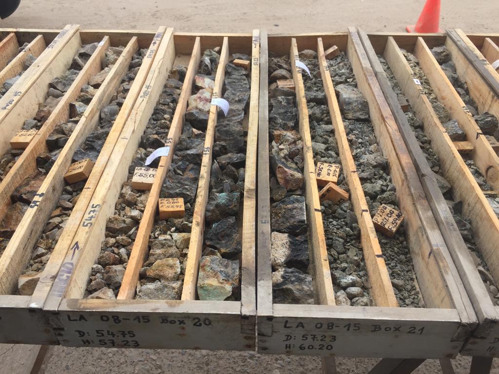
Historical Drilling
In 2008, Polar Star drilled 15 diamond holes totalling 2,550 m across the Q'Inti zone. In 2010, a further 3,693 m of reverse-circulation drilling in 15 holes was completed across the broader Los Azules area. Prior work has confirmed the geometry and grade of the Q'Inti breccia and underpins the current exploration model.
Current Program
Detailed topography, geological mapping, surface sampling, and re-interpretation are underway to update the geological model and advance the project toward an NI 43-101 resource estimate. Exploitation permits are in process to enable near-term production, and siting for a 5,000 tpm leaching plant is in study.
Project Gallery
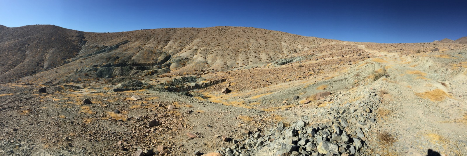
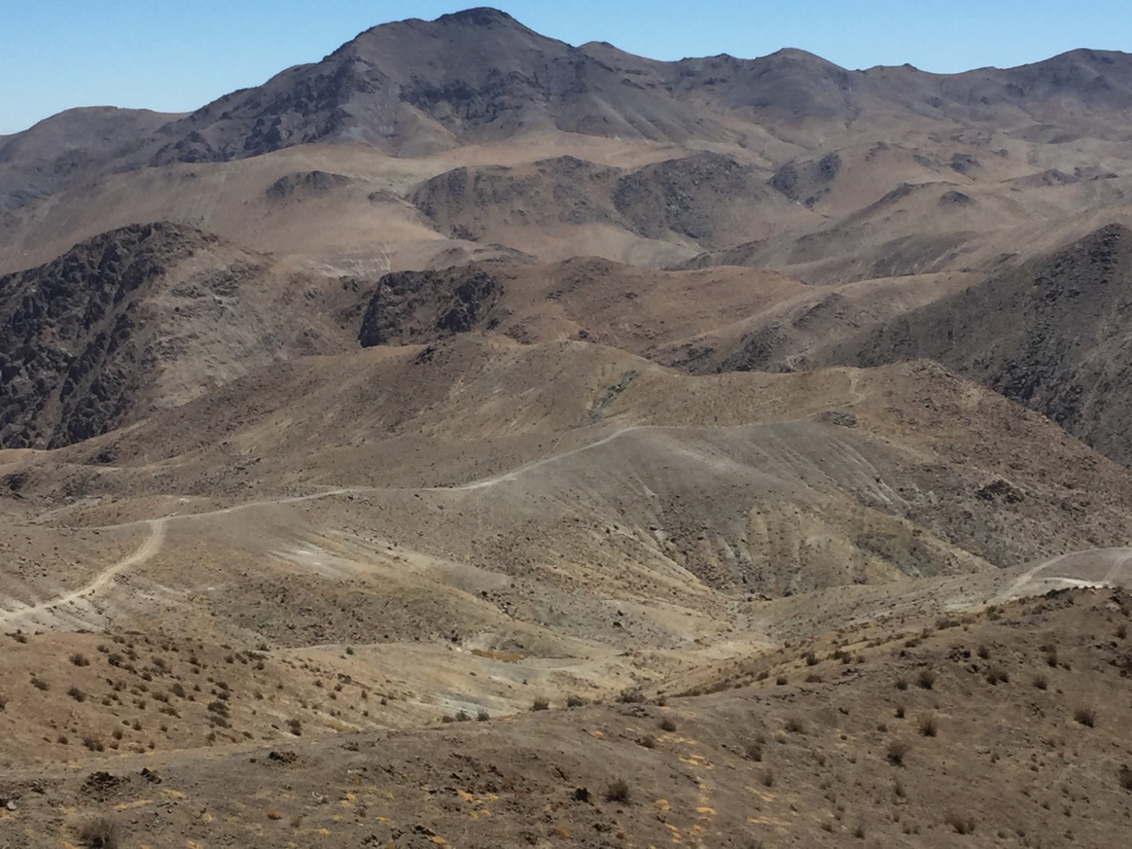
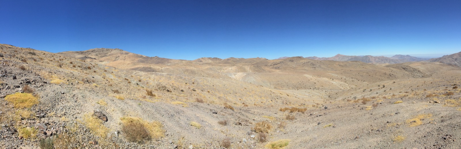
Outcrop mineralization, hand samples, drill core, and landscape photography from the Q'Inti claims. Click any image to enlarge.